

Risorse multimediali
Immagini
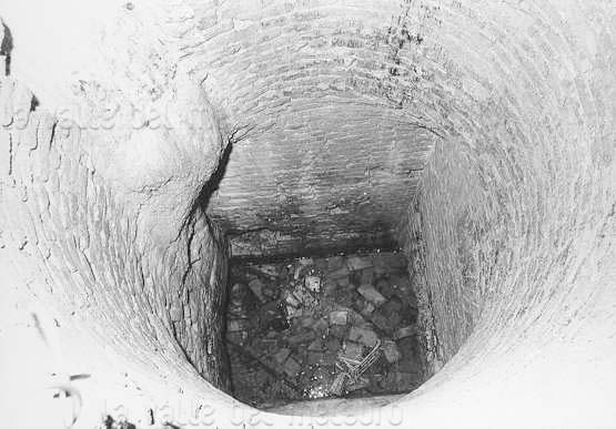
Tratto terminale del pozzo della Traforata
Foto di:
Roberti Giorgio
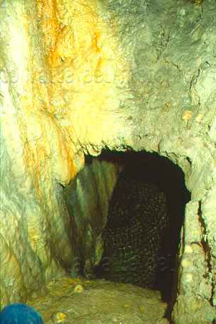
Tratto terminale della rampa elicoidale della Traforata
Foto di:
Roberti Giorgio e Mattioli Mauro
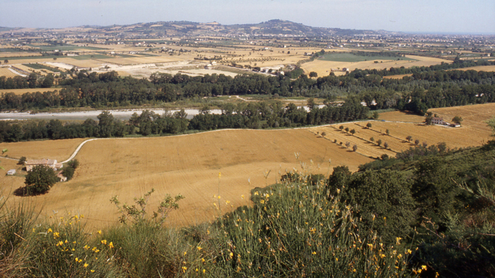
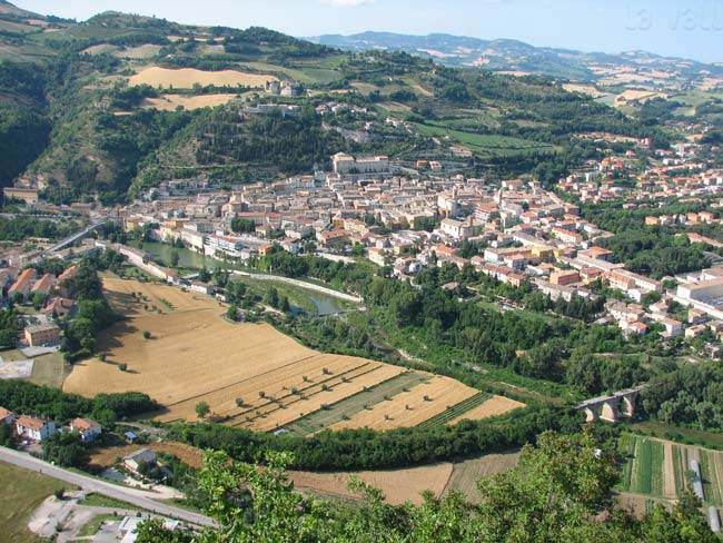
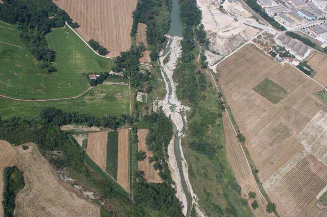
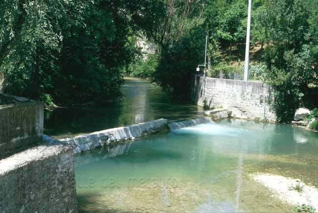
Tratto terminale della valle del Metauro, giugno 1982. Al di là del fiume e del Vallato del Porto si estende la piana alluvionale (T3, la cosiddetta piana glaciale), la collina di M. Giove e la città di Fano sulla costa
Foto di:
Poggiani Luciano
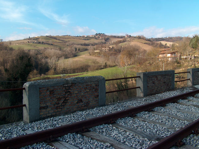
Tratto tra Fermignano e Urbino
Foto di:
Tosi Enrico
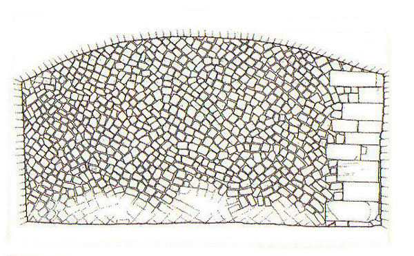
Tratto di muro romano in opus quasi reticulatum, Mura Malatestiane di Fano nel tratto verso il mare (da: DE SANCTIS 2012). E' stata disegnata, sulla destra, la catena d'angolo di conci regolarmente allineati, non visibile nelle foto perch� nascosta dall'erba
Travaglio a Montebello di Orciano di Pesaro (da SANCHIONI e PAGINI 1986)
Trave marmorea a Novilara
Foto di:
Giovannini Francesca
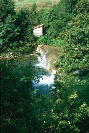
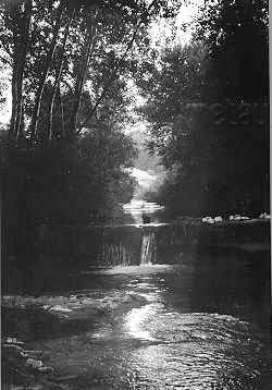
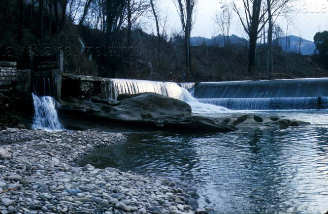
Traversa del canale del Mulino di Sopra a Fossombrone, giugno 1996
Foto di:
Poggiani Luciano
Traversa del Mulino dei Tre Pozzi, giugno 2013
Foto di:
Poggiani Luciano
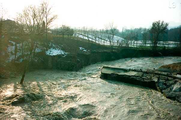
Traversa del Mulino del Piano danneggiata dall'alluvione del 1991
Foto di:
Salucci Daniele
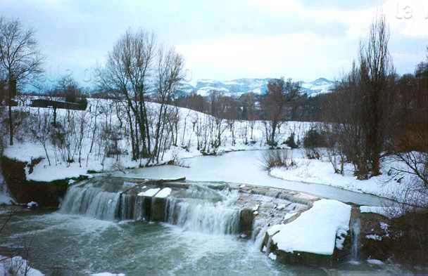
Traversa del Mulino del Piano prima del 1991
Foto di:
Salucci Daniele
Traversa del Mulino di Secchiano sul Torrente Bosso, luglio 1996
Foto di:
Poggiani Luciano

Traversa del Mulino di Secchiano sul Torrente Bosso, luglio 1996
Foto di:
Poggiani Luciano
Traversa del Mulino di Smirra sul T. Burano, luglio 1996
Foto di:
Poggiani Luciano

Traversa del Mulino di Smirra sul T. Burano, luglio 1996
Foto di:
Poggiani Luciano
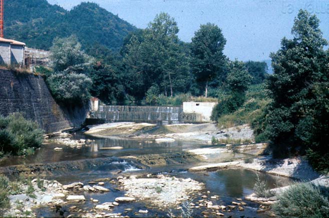
Traversa del Vallato Albani a valle del Ponte di Calcinelli, luglio 1984
Foto di:
Poggiani Luciano
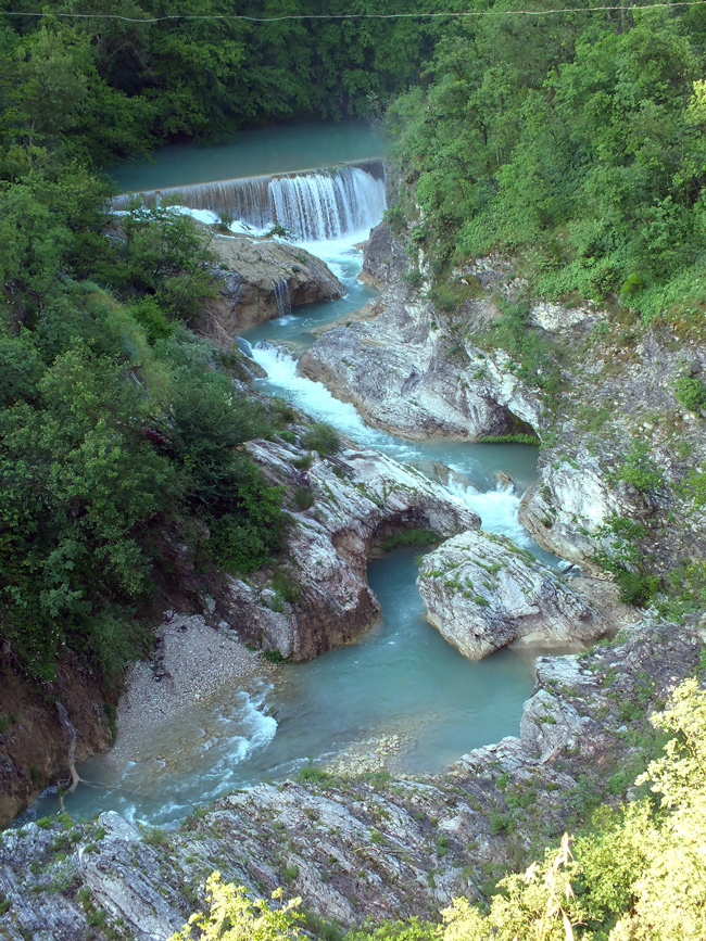
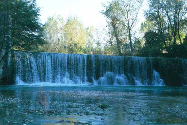
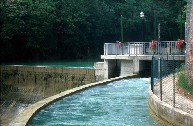
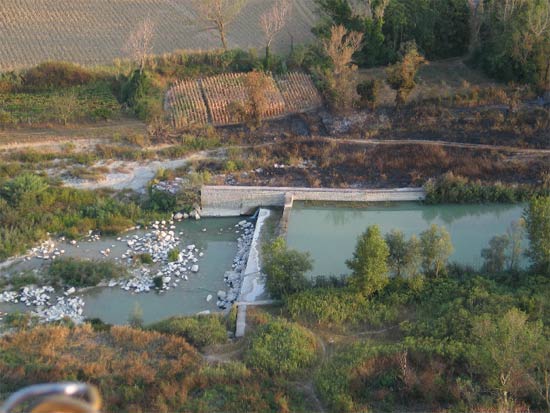
Traversa del Vallato del Porto (Fano)
Foto di:
Dini Giuseppe
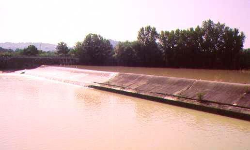
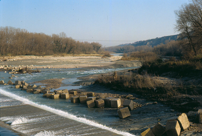
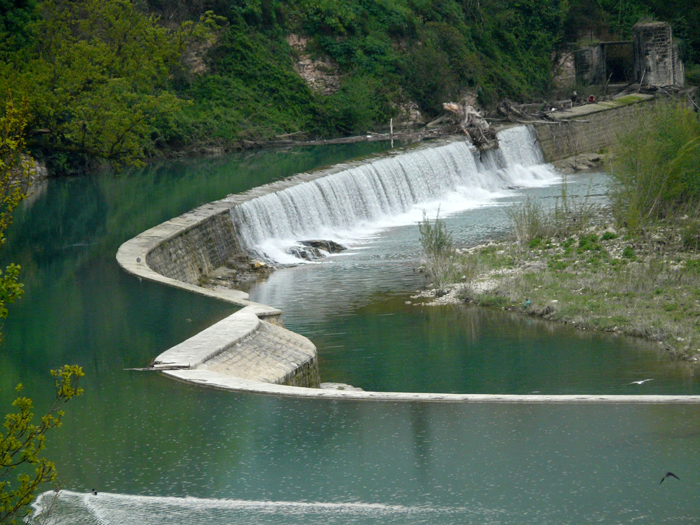
Traversa del Vallato del Porto (Fano), dicembre 1982
Foto di:
Poggiani Luciano
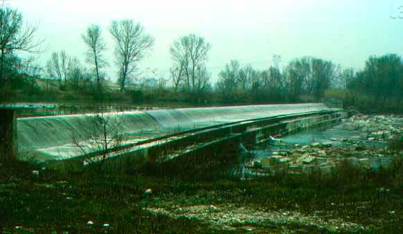
Traversa del Vallato del Porto (Fano), dicembre 1982
Foto di:
Poggiani Luciano

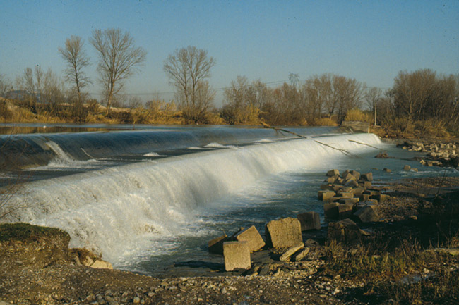
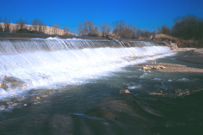
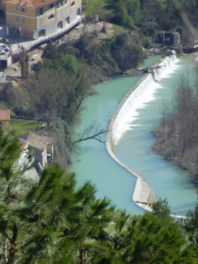
Traversa del Vallato del Porto (Fano), febbraio 1999
Foto di:
Poggiani Luciano
Traversa del Vallato del Porto (Fano), febbraio 1999
Foto di:
Poggiani Luciano
Traversa in muratura del Mulino di Cartoceto di Pergola, 1978
Foto di:
Pierucci Emilio
Traversa sul Candigliano del Mulino di Ponte del Broccolo, 1990
Foto di:
Dini Giuseppe
Traversa sul Candigliano e canale di adduzione dell'acqua della Centrale di Ca Romano
Foto di:
Dini Giuseppe
Traversa sul Metauro del Mulino Bonci a Fossombrone, aprile 2010
Foto di:
Poggiani Luciano
Traversa sul Metauro del Mulino Bonci a Fossombrone, aprile 2010
Foto di:
Dionisi Virgilio
Traversa sul Metauro del Mulino Bonci a Fossombrone, giugno 2007
Foto di:
Poggiani Luciano
Traversa sul Metauro del Mulino Gostoli
Foto di:
Dini Giuseppe
Traversa sul Metauro del Mulino Matteucci
Foto di:
Dini Giuseppe

Traversa sul Metauro del Mulino Matteucci, novembre 2000
Foto di:
Poggiani Luciano
Traversa sul Metauro presso il guado di S. Angelo in Ferriano (Fano), settembre 2004
Foto di:
Pedini Roberto
Traversa sul Metauro, frantoio e zona industriale di Bellocchi (Fano), luglio 2007
Foto di:
Cherchi Giacomo

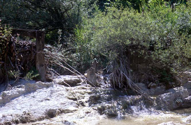
Traversa sul Torrente Burano a monte del Ponte Taverna a Cagli che alimentava il Mulino omonimo, luglio 1996
Foto di:
Poggiani Luciano
Traversa sul Torrente Burano a monte del Ponte Taverna a Cagli, che alimentava il Mulino omonimo, luglio 1996
Foto di:
Poggiani Luciano
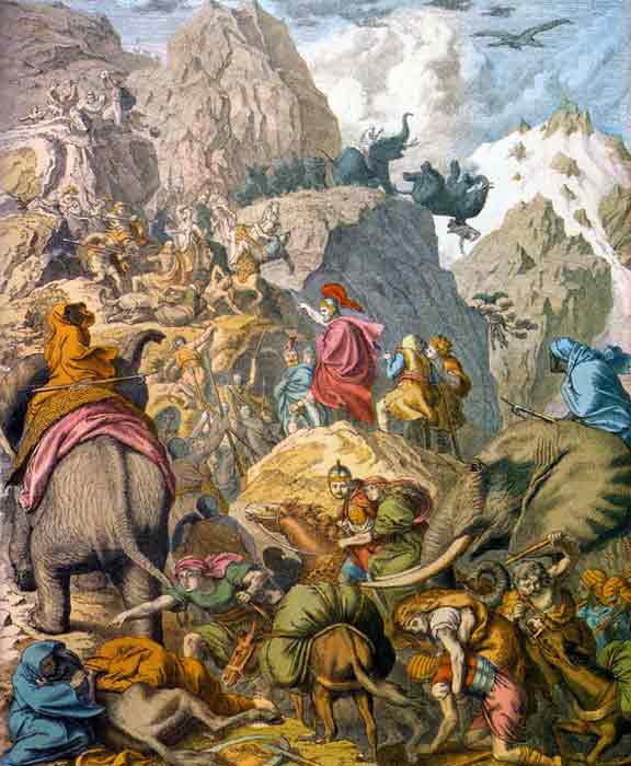
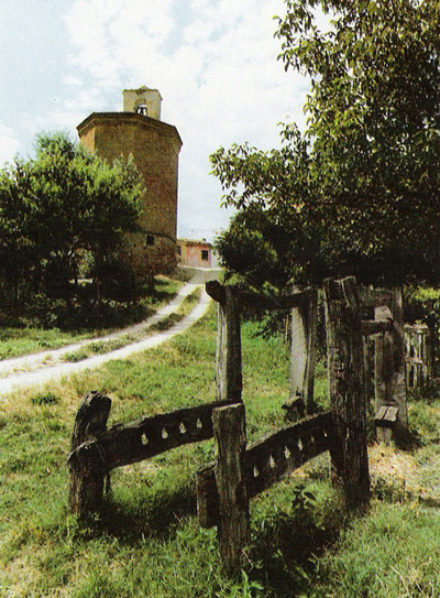
Traversata delle Alpi, Badisches Landesmuseum Karlshue
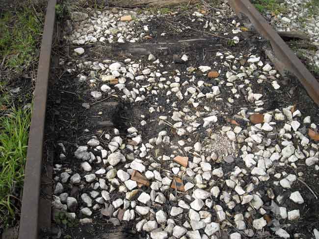
Traversine bruciate in località Cuccurano. Marzo 2010
Foto di:
Tosi Enrico
Tre edifici del Mulino Gulla, marzo 1998
Foto di:
Poggiani Luciano
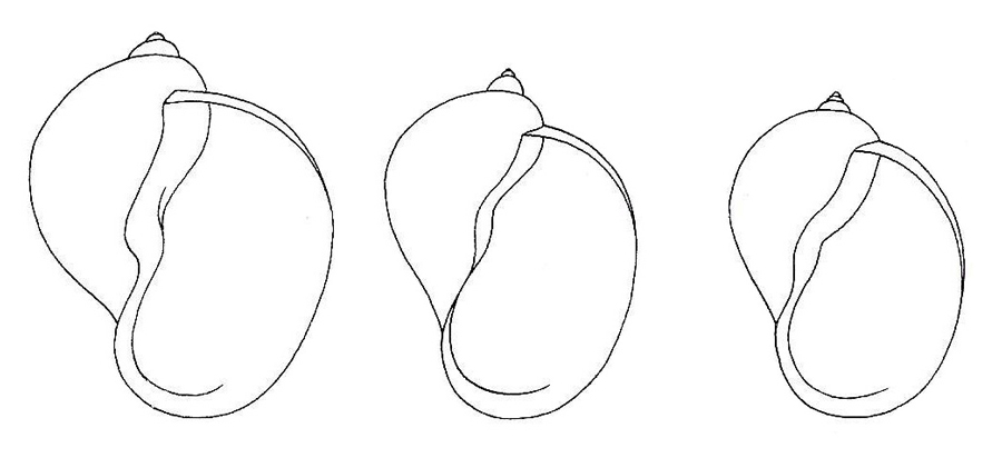
Tre forme di Radix auricularia (da: GIROD et al., 1980)
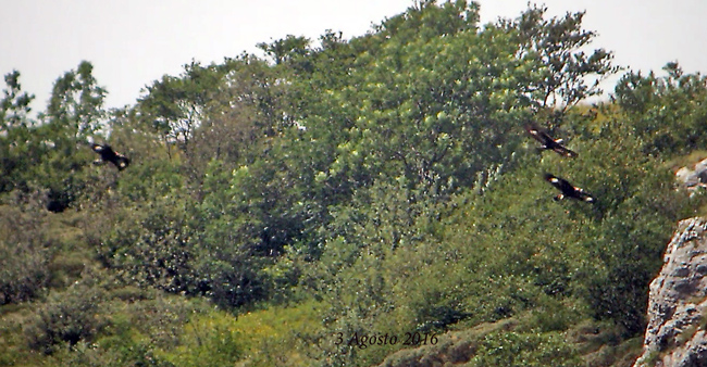
Tre giovani aquile, M. Catria, 3 agosto 2016
Foto di:
Leli Domenico
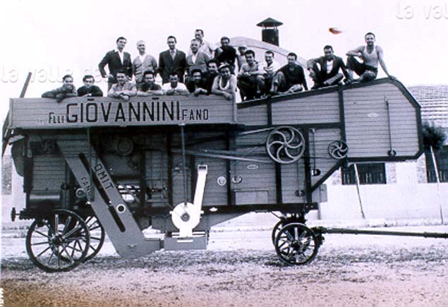
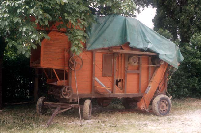
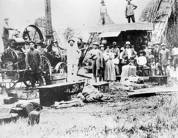
Trebbiatrice costruita dai Fratelli Patrignani di Fano, con marchio F.lli Giovannini

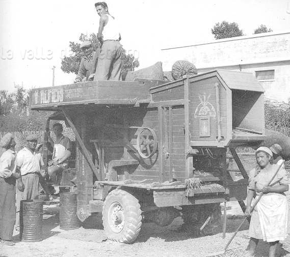
Trebbiatrice da grano della Ditta IMAS di Suzzara realizzata nel 1950-59 circa. E' l'ultima generazione di trebbiatrici; questa marca di macchine agricole fu la più diffusa nel Pesarese dopo il secondo dopoguerra
Foto di:
Pierucci Emilio
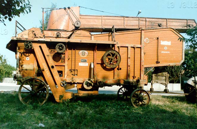
Trebbiatrice da grano della Ditta IMAS di Suzzara realizzata nel 1950-59 circa. E' l'ultima generazione di trebbiatrici; questa marca di macchine agricole fu la più diffusa nel Pesarese dopo il secondo dopoguerra
Foto di:
Pierucci Emilio
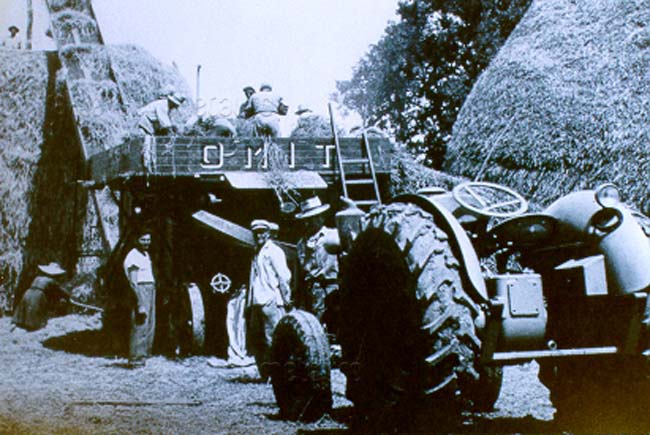
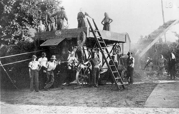
Trebbiatrice OMIT dei Fratelli Patregnani di Fano, dintorni di Fano,1950 circa
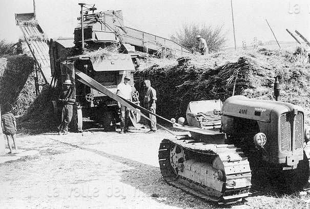
Trebbiatrice, campagna presso Cartoceto, 1988
Foto di:
Poggiani Luciano
Trebbiatura (da ALFIERI 1994)
Trebbiatura (da ALFIERI 1994)
Trebbiatura (da ALFIERI 1994)
Trebbiatura (da ALFIERI 1994)